In a fast-paced world with a rapidly growing population, ensuring the safety and quality of our food has become more important than ever for global food security. As consumers, we rely on various regulatory bodies and food quality control standards to ensure that the food we consume meets health quality standards. However, as the global food supply chain becomes increasingly complex, new technologies exist to address the challenges associated with food safety and quality.
Hyperspectral imaging is one such technology that provides detailed insights into the composition and integrity of food products. Even more so, space-based hyperspectral imaging sensors have numerous applications with the potential to transform the way we ensure food security in uncertain times.
Understanding Hyperspectral Imaging
Hyperspectral imaging involves the capture and analysis of spectral characteristics across a wide range of the electromagnetic spectrum. Unlike traditional imaging techniques, such as multispectral imaging, hyperspectral imaging sensors can detect and measure the intensity of light reflected from objects in hundreds of narrow spectral bands, as opposed to dozens.
The high spectral resolution of hyperspectral data provides a wealth of detailed information about the target objects or environments. This technology allows us to go beyond what the human eye can see and uncover hidden characteristics of food products and growing conditions.
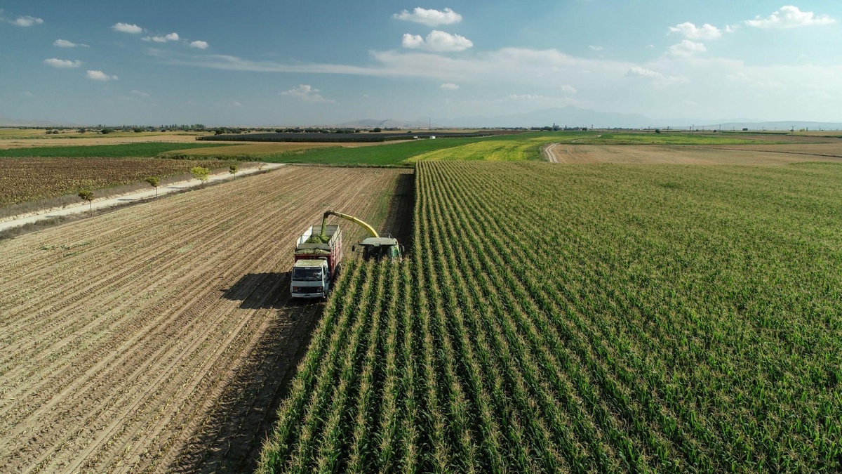
Applications of Hyperspectral Imaging Satellites in Food Security
1. Quality Control and Inspection
Hyperspectral imaging satellites play a crucial role in quality control and inspection processes throughout the food supply chain. By analysing the spectral signatures of various croplands, imaging satellites can detect contaminants, such as foreign materials, bacteria, and fungi, that may be invisible to the naked eye. This technology enables early detection of spoilage and contamination, reducing the risk of compromised food reaching consumers and ensuring consistent supply.
2. Environmental Impact Assessment
Hyperspectral imaging satellites provide valuable insights for assessing the environmental impact of agriculture. By monitoring land use, soil health, and excessive nutrient content associated with agricultural activities, these satellites enable policymakers and stakeholders to develop strategies for sustainable farming practices. This helps in reducing water consumption, minimising the use of pesticides and fertilisers, and promoting soil health, ensuring long-term food security.
Furthermore, the reliability of hyperspectral data promotes transparency in the development of environmental impact assessment reports. This helps simplify timely compliance procedures across big agricultural organisations.
3. Disease Detection and Management
Presymptomatic disease detection in crops is crucial to prevent yield losses and ensure food security. Hyperspectral imaging satellites can monitor changes in plant physiology and biochemical composition, enabling disease detection even before visible symptoms appear.
This allows farmers to take prompt action, such as applying targeted treatments and adjusting irrigation practices, to minimise the spread of diseases and optimise yields.
4. Crop Health Monitoring
Monitoring the health of crops is essential for optimising agricultural practices and maximising productivity, which are integral to food security. Space-based hyperspectral imaging provides valuable information about vegetation indices, chlorophyll content, and nutrient content in crops.
Organisations are better equipped to make informed decisions regarding irrigation, fertilisation, and pest detection, leading to improved crop health and higher yields by applying agricultural satellite imagery and analysing this data.
Pixxel’s Role in Food Security
In a world where data-driven solutions are transforming industries, satellite imagery companies are coming forward with their own innovations. Pixxel is leading the way with its constellation of commercially available hyperspectral imaging sensors.
Whether you’re in agriculture, mining, energy, environmental monitoring, or any other sector, Pixxel's hyperspectral imaging sensors unlock new opportunities and drive informed decision-making processes.
With their high-resolution capabilities of 5 m spatial resolution and hundreds of spectral bands covering the VNIR and SWIR parts of the electromagnetic spectrum, Pixxel offers unprecedented insights and applications across various industry vertices, including agriculture, mining, energy, environment, and the public sector.
Harness the detailed information provided by hyperspectral imaging to stay ahead of the curve by optimising crop health, ensuring food safety, monitoring environmental impacts, and so much more. Pixxel's three test demo satellites already in space showcase their commitment to innovation, delivering reliable and accurate data.
Don't miss out on the potential of hyperspectral imaging for your organisation. Partner with Pixxel to gain a competitive edge, embrace remote sensing datasets, and propel your organisation towards greater success and sustainability. It's time to unlock the insights and capabilities of this technology and propel your organisation into a new era of earth observation, securing the future of global food security.

No comments yet