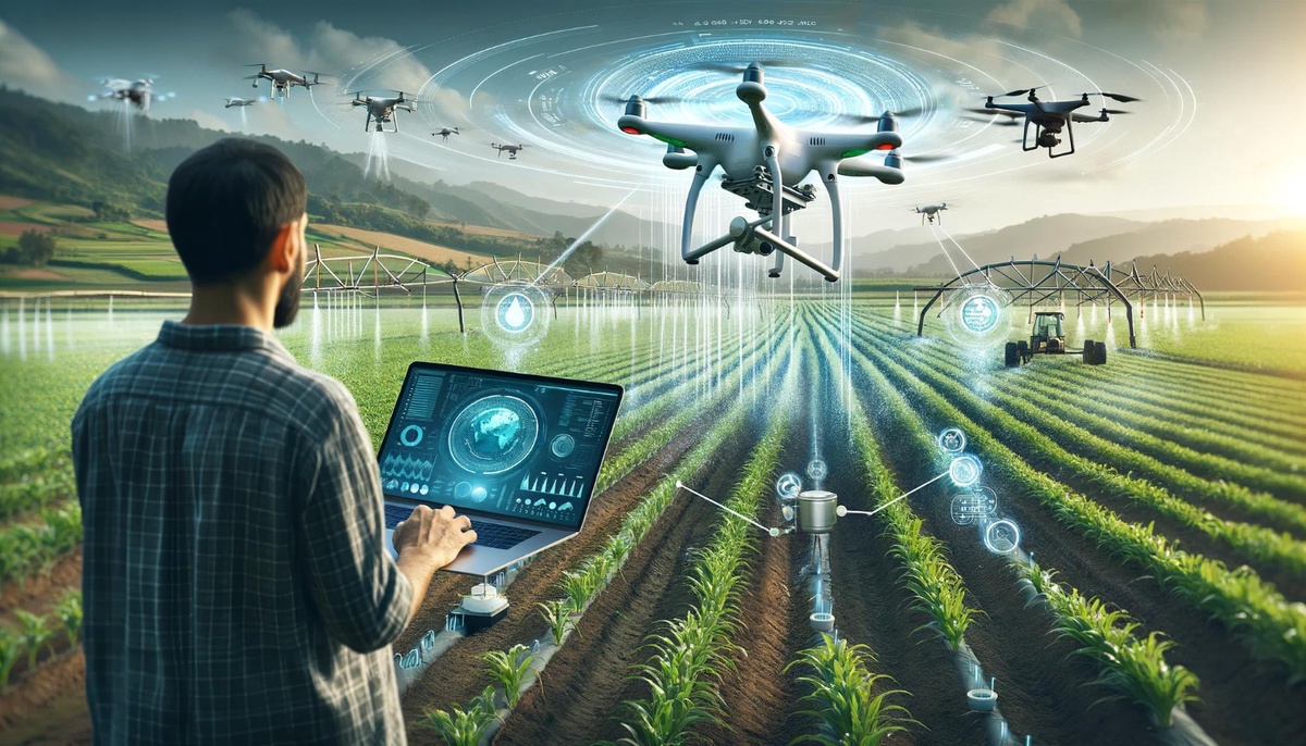
Hey everyone, Jassy here! With a decade in the USB camera consultation industry, I've witnessed a fascinating convergence of technology – the rise of drone-based mapping solutions and the crucial role of USB 3.0 cameras in this revolution. For those in precision agriculture, these solutions are transforming the way they manage their land, leading to increased efficiency and yield optimization.
The Power of Pixels from Above: Unveiling Drone-Based Mapping
Traditional land surveying methods can be time-consuming and expensive. Drone-based mapping offers a faster, more cost-effective alternative. Here's how it works:
- Equipped Drones: Drones equipped with high-resolution USB 3.0 cameras fly pre-programmed routes, capturing a series of overlapping aerial photographs of the land.
- Image Processing Magic: Specialized software takes these images and stitches them together, creating a high-resolution orthomosaic map. Think of it as a giant, highly accurate aerial photograph that corrects for distortions caused by the drone's perspective.
Beyond the Map: Unlocking the Potential of USB 3.0 Cameras
But drone-based mapping goes beyond just creating pretty pictures. USB 3.0 cameras play a vital role in generating valuable data for precision agriculture applications:
-
Digital Elevation Models (DEMs): Using the captured imagery, software can create detailed DEMs. These 3D representations of the land's surface elevation are crucial for tasks like planning irrigation systems, analyzing drainage patterns, and identifying potential erosion areas.
-
3D Terrain Models: Taking it a step further, advanced software can generate 3D terrain models. These detailed, virtual representations of the land allow farmers to visualize their fields in a whole new way, aiding in crop planning, monitoring crop health, and even scouting for potential pest infestations.
Client Example: A Bird's-Eye View for Better Yields
A recent example from my experience perfectly illustrates the power of drone-based mapping. I consulted with a farmer struggling to optimize irrigation on his vast farmland. Traditional methods were proving inefficient. The solution? A drone-based mapping solution with a high-resolution USB 3.0 camera. The generated DEM revealed subtle variations in land elevation, allowing for the creation of a targeted irrigation plan. The result? Reduced water waste and a significant increase in crop yield.
Why USB 3.0 Cameras? The Speed Advantage
Now, you might wonder – why specifically USB 3.0 cameras? Here's the key: speed. USB 3.0 offers significantly faster data transfer rates compared to older USB standards. This is crucial for drone-based mapping, as the cameras capture a large amount of image data during each flight. A fast USB 3.0 connection ensures smooth data transfer from the camera to the drone's internal storage, allowing for efficient operation and uninterrupted image capture.
The Future Takes Flight: Advancements in Drone-Based Mapping
The future of drone-based mapping is bright, with continuous advancements on the horizon:
-
Higher Resolution Cameras: USB camera technology is constantly evolving, offering ever-increasing resolutions. This will lead to even more detailed and accurate maps, DEMs, and 3D terrain models.
-
AI Integration: The integration of AI could unlock exciting possibilities. Imagine AI analyzing captured images to identify crop health issues or pest infestations in real-time, allowing for early intervention and improved crop management.
The Final Takeoff: Precision Agriculture Takes Flight
Drone-based mapping solutions equipped with USB 3.0 cameras are revolutionizing precision agriculture. They offer farmers a powerful tool to manage their land more efficiently, leading to increased yields, optimized resource utilization, and ultimately, a more sustainable future for agriculture.
So, the next time you see a drone soaring over a field, remember the sophisticated technology at play. A high-resolution USB 3.0 camera might be capturing valuable data, helping farmers unlock the full potential of their land and contributing to a more food-secure future.
No comments yet