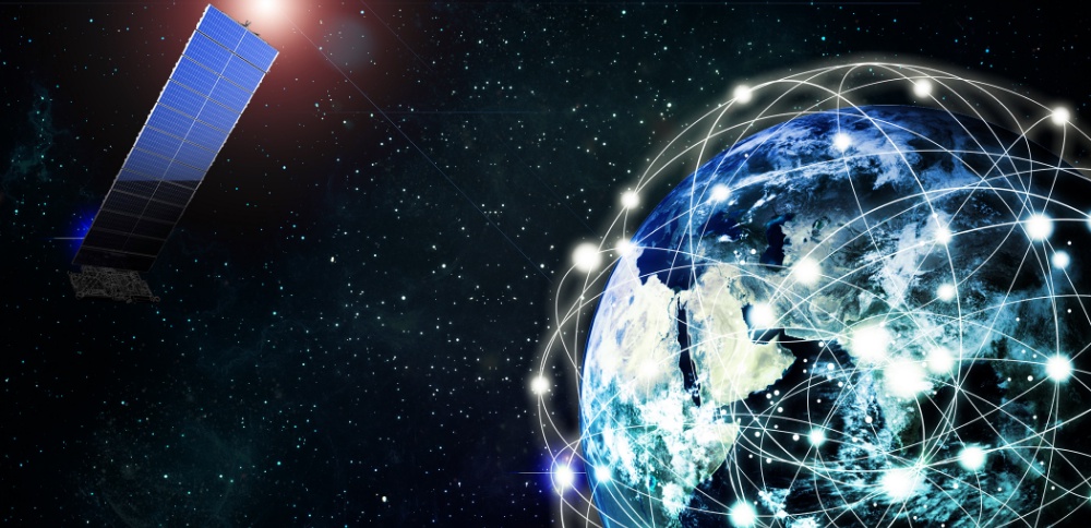
Have you ever wondered about using satellite images to improve how we farm? It might sound fancy, but it's actually a practical tool that's making a big difference in agriculture.
So, what's remote sensing? Basically, it's using cameras on satellites or planes to take detailed pictures of our fields from way up high. These pictures help us see things like how healthy our crops are, how much water our soil has, and what the weather's like.
Why does this matter? Well, imagine being able to spot problems in our crops before they get too big. That means we can fix things early, like giving our plants the right nutrients or water they need. Plus, knowing how wet or dry our soil is helps us plan when to water our crops, so we don't waste water or drown them by accident.
But there's more! These satellite images can even help us guess how much food we're going to get from our fields. That way, we can plan ahead and make sure we have enough food to sell or feed our families. It also helps in making strategies for future.
Here at Kheti Buddy, our aim is helping farmers like utilize remote sensing and other technologies in agriculture. Our tools and software make it easy to understand and implement the techniques to help our farms grow better.
In conclusion, remote sensing is a fancy way of saying we can use pictures from space to help us farm smarter. By giving us a bird's-eye view of our fields, it's helping us make better decisions and grow more food.
Join us in journey of exploring possibilities of remote sensing and making our farms even better!


No comments yet