Geographic Information System (GIS) solutions have become an integral part of various industries in India, ranging from urban planning and infrastructure development to agriculture and forestry. GIS is a computer-based tool that enables the creation, management, analysis, and visualization of geospatial data. In this blog, we will explore the current state of GIS solutions in India, their applications, and their impact on various sectors.
Current State of GIS Solutions in India
The GIS industry in India has grown rapidly in recent years, driven by the increasing demand for location-based services and the availability of affordable technology. According to a report by MarketsandMarkets, the GIS market in India is expected to reach $9.1 billion by 2023, growing at a CAGR of 15.7% from 2018 to 2023. The report also highlights that the major players in the Indian GIS market include ESRI, Lepton Software, Autodesk, Bentley Systems, and Hexagon AB.
The Indian government has played a significant role in promoting the use of GIS solutions in the country. The Ministry of Electronics and Information Technology has established the National GIS (NGIS) program, which aims to create a national GIS database and promote the use of GIS technology in governance and decision-making. The NGIS program is also working towards integrating geospatial data from various government departments and making it available to the public.
Applications of GIS Solutions in India
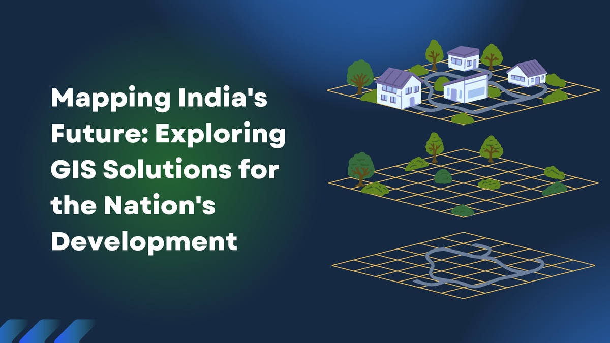
GIS solutions have a wide range of applications in India, including:
-
Urban Planning and Infrastructure Development: GIS solutions are widely used in urban planning and infrastructure development projects. They help in identifying suitable sites for infrastructure development, analyzing the impact of proposed projects on the environment and surrounding areas, and monitoring the progress of ongoing projects.
-
Agriculture and Forestry: GIS solutions are also used in agriculture and forestry to improve crop yields and manage forest resources. They help in identifying suitable areas for cultivation, analyzing soil conditions, and monitoring crop growth. In forestry, GIS solutions are used to track deforestation and illegal logging activities.
-
Disaster Management: GIS solutions are used in disaster management to identify vulnerable areas, monitor weather patterns, and coordinate rescue and relief efforts. They also help in assessing the impact of disasters on infrastructure and the environment.
-
Healthcare: GIS solutions are used in healthcare to map the spread of diseases and identify areas with high disease incidence. They also help in planning healthcare infrastructure and allocating resources.
Impact of GIS Solutions in India
GIS solutions have had a significant impact on various sectors in India. Some of the key impacts are:
-
Improved Decision-making: GIS solutions provide decision-makers with valuable insights into geospatial data, enabling them to make informed decisions. This has led to improved planning and better allocation of resources.
-
Increased Efficiency: GIS solutions help in automating various tasks and reducing manual effort. This has led to increased efficiency and productivity in various sectors.
-
Improved Governance: GIS solutions have enabled the government to make better decisions and provide better services to citizens. This has led to improved governance and better quality of life for citizens.
Conclusion
GIS solutions have become an essential tool for various industries in India, providing valuable insights into geospatial data and enabling informed decision-making. The growth of the GIS industry in India is expected to continue in the coming years, driven by the increasing demand for location-based services and the availability of affordable technology. The Indian government's efforts to promote the use of GIS solutions in governance and decision-making are also expected to contribute to the growth of the industry.

No comments yet